Kevern-UMSAEP Activities Summer 2023
Project Background
Some of the probable effects of climate change include frequent floods and drought. It is therefore important that water resulting from the floods is well managed and conserved to maximize water yield in our water resources. Among other things, this may be achieved by ensuring that drainage to water sources is not impeded. Ensuring that stormwater systems are not blocked and that agricultural croplands are well drained, leads to increased water yield and enhanced groundwater recharge. It is therefore important to investigate challenges related to stormwater drainage and poor drainage in agricultural land and subsequently recommend probable solutions. Visit activities included assessment of the geologic suitability for implementation of green infrastructure in managed aquifer recharge including water quality sampling at various points throughout the Cape Flats watershed to identify potential pollutant sources to aid determination of suitability of wide-spread infiltration practices.
Historical research of the pre-colonial Cape habitat, settlement and pastoralist patterns, emphasizes the abundant availability of freshwater at Hoerikwaggo. Dutch colonial settlement relied on the streams of the newly named Table Mountain with Wagenaar’s reservoir providing a collection point close to the shoreline. Water pumps and urban canals were early water infrastructure. The late 19th century English colonial municipal administration introduced the first subterranean waterborne piped sewer system discharging at the outfall at Mouille Point.
This infrastructure for the city was a precaution after repeated outbreaks of disease. At that time of the Victorian empire the Hutchinson and Molteno reservoirs were constructed, combining water supply and electrical generation guided by the mayor/entrepreneur David Graaf. By the mid to late 20th century water for the city was piped from distant catchment dams at inter alia, Steenbras, Theewaterskloof, and Voelvlei. Various studies such as Caron von Zeil’s Camissa (the pre-colonial term for ‘place of sweet waters’) project have studied capturing spring water running off Table Mountain in the city. Other sources of spring water are to be found in Durbanville Hills which offers a single point of flow. At the Cape Flats surface drainage of rainwater occurs from the highest contours at St Joseph's near the CPT airport, flowing southwards towards False Bay, and northwards to Table Bay. Cape Town has an extensive water system of 14 rivers and 10 wetlands, with surface water that includes marshes, lakes, ponds, rivers, estuaries and lagoons and most of these water bodies interface with the Cape Flats Aquifer. Cape Town is situated where three of South Africa’s 22 strategic water catchment areas (Table Mountain, Boland and Groot Winterhoek ranges) meet with three strategic groundwater areas (Table Mountain Group, Cape Flats and Atlantis Aquifers) and the City should endeavor to conserve urban and peri-urban wetlands for their ecological and socio-economic benefits (http://waterstories.co.za/cape-town-water-sources/). However, these highly sensitive wetlands and aquifer zones are increasingly vulnerable to planned and unplanned urban expansion.
Currently, the management of water resources is fragmented in the City of Cape Town with the Department of Transport responsible for stormwater and the Department of Water and Sanitation for sewage effluents. The city planning districts of Cape Flats, Mitchells Plain/Khayelitsha and Tygerberg are the authorities with the greatest responsibility to implement aquifer catchment management. Growth of the City of Cape Town in the 20th century was based on policies of national and municipal segregation combined with the local interpretations of European and American modernist city planning. The urbanization of the Cape flats demonstrates both these phenomena in the methodology of spatial layout. Spatial discontinuities were designed into the urban matrix for ideological and zoning-specific reasons. Re-visioning the extant untidy and blurred edges between urban suburbs/roads and natural water environments on the Cape flats can be an outcome of the introduction of carefully designed aquifer protection zones.
Riparian edges and ponds have historically provided urban amenities as public spaces, allowing promenades, parks, and other spaces for leisure. However, it can be argued that the planning concerns before water scarcity had regarded the vleis, rivers and wetlands of the Cape Metropole as secondary to development agendas, resulting in a sense that many of these spaces have as spatial leftovers. Without clear distinction or primacy in the landscape, many water-related places are experienced as problematic ‘terrain vague’ spaces and are consequently seen as worthless, unsafe, and sinister. Intentional design interventions can mitigate and counteract that perception, especially if communities can perceive value and take ownership for stewardship. As observed in many other places globally, communities see the value in design interventions to improve water resources but rarely take suitable ownership in the long-term condition.
Fortunately, the lessons learned in other locales to develop minimal-maintenance solutions can be readily adapted to Cape Town. One of the biggest issues is the belief that the community will take ownership because they value the improvements. The individual community members generally don’t see how a particular local solution fits into the bigger regional goal. This was a major failure in many western US installations which has resulted in much simpler and lower maintenance approaches.
The design of suitable infrastructure in the vicinity of degraded water resources could provide the opportunity to address multiple concerns ranging from urban decay to water quality by incorporating elements from both engineering and urban design. However, mostly engineered solutions have been promulgated. Urban design can be integrated into engineered environments to make explicit what is invisible underneath the ground, i.e. the aquifer, as a means to engage the community in spatial awareness and curatorship.
Cape Town is one of the cities in South Africa threatened by ever-increasing fluctuations and unpredictable climate changes. For the last two decades, climate-resilient cities should have planned to adapt or undertake mitigation measures to minimize the predicted disruptions caused by climate change which are likely to result in less predictable rainfall, leading to droughts or floods, coupled with higher annual temperatures. But despite adequate warning, Cape Town unexpectedly faced a stringent three-year drought during 2016-2018 which was estimated to be a 1-in-400-year hydrological event, and which revealed that the City was woefully unprepared.
The drought galvanized the City into action to address the need to secure adequate volumes of water from diverse unconventional water sources to guarantee sufficient supply. Thus, in Cape Town conventional and unconventional water resources are being considered for mitigating future water shortages. Conventional water sources derive from the major catchments that serve the City of Cape Town, whereas unconventional sources include groundwater through abstraction from the Cape Flats Aquifer (CFA), seawater desalination, and sewage effluents. At the time of the drought, the Cape Flats Aquifer was targeted for emergency abstraction (Holmes et al 2018). Moreover, three desalination plants were rapidly commissioned, deployed and operated by the City for a period, and a pilot wastewater reuse plant was investigated. (Swartz, 2020). While the drought broke, it gave us an initiation into the lack of local preparedness. We can be assured that it will return in more severe terms and now is the time to implement green infrastructure solutions.
There is a Master Plan for Managed Aquifer Recharge (MAR) for the emergency development of the Cape Flats Aquifer, guided by the Cape Flats Aquifer Management Strategy In terms of the aquifer, there is already a very active network of stakeholders that are linked in groups such as the Cape Town Aquifer Use Case and feedback from stakeholders was used to develop a Groundwater Protection Scheme for the Cape Flats Aquifer. Groundwater Protection Zones (GPZ), as well as mapping with ranking of vulnerabilities, and potentially contaminating activities (PCA) have been identified and approved for implementation according to Riemann (2021). There also have been studies on the Cape Flats Aquifer leading to the idea of injecting effluent from wastewater treatment plants into the aquifer, for the aquifer recharge scheme.
Managed aquifer recharge is one of the key themes and priorities of the City of Cape Town's "Cape Town Water Strategy – Our Shared Water Future". Conservation of water volumes, improving its quality, and its management, has led to plans for indirect water recycling via managed aquifer recharge (MAR) for its conservation, where surface water is transferred underground and stored in aquifers. This can be achieved through infiltration galleries or through injection boreholes. Consultancies such as Umvoto have taken the lead in this pioneering work, giving planning recommendations for protection zones around the Cape Flats Aquifer. Their recommendations included the future and urgent need for mapping and modeling of surface-groundwater interactions in terms of flows and contamination. Mapping not only refers to the aquifer in our view, but to the social and built environment fabric overlaying the aquifer. These aspects are part of the reason for this proposed study, integrating urban design with Managed Aquifer Recharge. This proposed investigation will not only address the urban fabric but elucidate opportunities for the most suitable intervention and investment locations as well as maximizing the effects of the initiatives to protect the aquifer, developing a decision matrix for urban terrain upliftment related to aquifer protection zones. The study will identify the most critical locations for specific interventions as well as provide a toolbox of approaches more generally.
Managed aquifer recharge has been implemented in Atlantis in the Western Cape, South Africa, which is a semi-arid area, and the groundwater has provided a large proportion of the town’s bulk water supply sustainably for some 25 years. This has allowed for the development of a circular concept for aquifer recharge from waste effluents, storage in the aquifer, and its reclamation and reuse. Monitored pollution plumes from the Atlantis municipal landfills show remediation of aquifer contamination derived from the unlined landfill at Atlantis is needed. The presence of emerging contaminants was noted as a potential threat to water recycling at Atlantis and a risk management plan.
It is necessary to understand hydrogeological constraints and opportunities that existing infrastructure presents in a complex social, cultural and environmental context. Forging sustainable linkages between preexisting physical infrastructure and social habitat is required, as well as addressing aspirational issues by revitalizing communities whilst applying best practices in aquifer protection. There is a need to integrate monitoring, modeling, and management with engineering design, whilst creating safe urban parkland overlying, and protecting the water quality in, the aquifer; from the suburbs in the east, west, and north across the Cape Flats towards False Bay. Moreover, several rivers have been canalized or closed from daylighting, and the question is whether one can restore or daylight the rivers and improve the potential urban farming of wetlands and other aquifer recharge points. Furthermore, if stormwater could be captured and cleaned it could also add to the water availability.
While it was determined that the Cape Flat aquifer is suitable, and truly and excellent candidate for wide-spread infiltration-based green infrastructure to combat flooding and droughts due to climate change, the level of pollution present in stormwater, even at the furthest reaches of the watershed, could result in significant drinking water contamination. This degree of pollution was not anticipated and research and previous findings likely suppressed to downplay the industrial and agricultural role in pollution. As such, the project and research activities pivoted to evaluating low-cost pollution treatment technologies which may be suitable for deployment on the small and large scale to purify water before aquifer recharge can occur. A preliminary design was developed and tested at UWC which showed excellent potential for removal or organic pollutants and bacteria using rudimentary optimization. Plans were developed for more precise production and testing at UMKC.
Notable Visit Activities
-
Took 5 students from UWC and CPUT on a road trip to look at land use in the Cape Flats aquifer to determine urban, industrial and agricultural contributions to the Bree River and Berg River. Went UWC out to Worcester, Ceres, Piketberg, to Velddrif, and home.
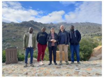
Kevern, Petrik, and students in Bree River watershed
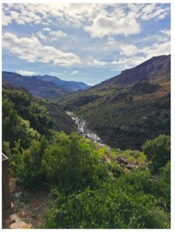
Bree River catchment
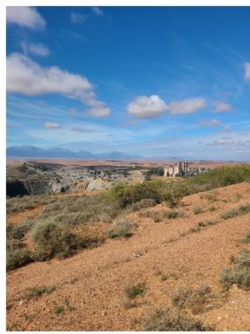
Upstream Piketberg to Velddrif

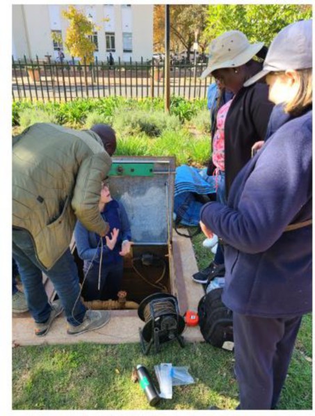
View at the discharge from the Cape Flats wastewater treatment plant
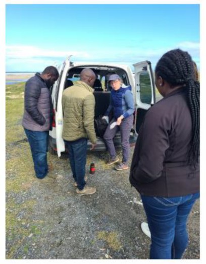
Prepping samples at the Cape Flats wastewater treatment plant
-
Took 5 students from UWC, CPUT, and Stellenbosch on a road trip to look at land use in the Table Mountain group. Took water samples from the Macassar WWTW, Jonkershoek Nature Reserve, Eerste River, and from a borehole on the Stellenbosch campus.
Borehole water testing at Stellenbosch University

Jonkershoek Nature Reserve water testing
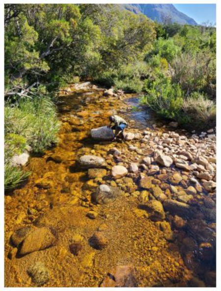
Jonkershoek Nature Reserve water testing
- Met with Bernard Bladergroen at the Energy Storage Innovation Lab to discuss their battery research and tour the only lithium ion battery production training facility in Africa. With the new Panasonic battery plant in construction in Kansas City, there are likely exchange and research overlaps that can be leveraged.
-
Gave a seminar to UWC and CPUT students at UWC on research and the global cement industry initiatives towards zero carbon. Was supposed to be at CPUT but the campus was closed due to student riots.

Lecturing at UWC
- Met with Dr. Petrik of UWC and Reynold Chow of Stellenbosch on a water resources commission proposal aimed at improving water resiliency of Cape Town through wide spread permeable pavement installations.
- Gave a seminar at the civil engineering department of Stellenbosch about concrete research. Discussed collaboration between our (UM System) 3D printing project and work happening at Stellenbosch.

Stellenbosch University 3D printer setup
Notable Visit Research Products
-
Chow, R., de Jage, G.R., Petrik, L.F., and Kevern, J.T. Urban and Hydrogeological Design to Enhance Managed Aquifer Recharge in the Cape Flats, Proposal Submission to South African Water Resource Council (WRC), KSA 1&2, Thrust 4 Environmental
Change and Adaptation Thrust. (under review)
- Interviewed Evral Ntsa (UWC/CPUT) student who is now a PhD student at UMKC.
- Submitted an invention disclosure for using a simple hydrodynamic caviation setup for low-cost treatment of persistent pollutants and bacteria in water.
- Developed a related UMSAEP proposal to bring Emmanuel Alechine to UMKC to work with Evral on refining the cavitation water treatment system.
Reviewed 2025-11-06